
Thank you for supporting this site ❤️
Make a donation
Make a donation
Fanning Springs topographic map
Click on the map to display elevation.
Thank you for supporting this site ❤️
Make a donation
Make a donation
About this map
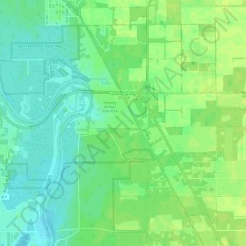
Name: Fanning Springs topographic map, elevation, terrain.
Location: Fanning Springs, Levy County, Florida, United States (29.56197 -82.95817 29.60726 -82.89822)
Average elevation: 9 m
Minimum elevation: 1 m
Maximum elevation: 15 m
Thank you for supporting this site ❤️
Make a donation
Make a donation
Other topographic maps
Click on a map to view its topography, its elevation and its terrain.