
Thank you for supporting this site ❤️
Make a donation
Make a donation
Cook Mill topographic map
Click on the map to display elevation.
Thank you for supporting this site ❤️
Make a donation
Make a donation
About this map
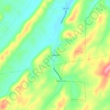
Name: Cook Mill topographic map, elevation, terrain.
Location: Cook Mill, Roane County, Tennessee, United States (35.67368 -84.55521 35.71368 -84.51521)
Average elevation: 297 m
Minimum elevation: 244 m
Maximum elevation: 376 m
Thank you for supporting this site ❤️
Make a donation
Make a donation