
Rendufe topographic map
Interactive map
Click on the map to display elevation.
About this map
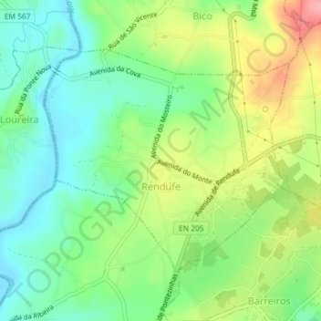
Name: Rendufe topographic map, elevation, terrain.
Location: Rendufe, Amares, Braga, Cávado, Norte, 4720-628, Portugal (41.62037 -8.42094 41.63908 -8.39334)
Average elevation: 67 m
Minimum elevation: 25 m
Maximum elevation: 135 m