
香格里拉镇 topographic map
Interactive map
Click on the map to display elevation.
About this map
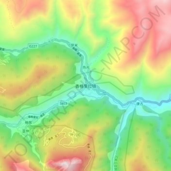
Name: 香格里拉镇 topographic map, elevation, terrain.
Location: 香格里拉镇, 稻城县, 甘孜藏族自治州, 四川省, 627700, 中国 (28.52324 100.30654 28.60324 100.38654)
Average elevation: 3,494 m
Minimum elevation: 2,809 m
Maximum elevation: 4,467 m
Other topographic maps
Click on a map to view its topography, its elevation and its terrain.