
Chiephobozou topographic map
Interactive map
Click on the map to display elevation.
About this map
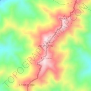
Name: Chiephobozou topographic map, elevation, terrain.
Location: Chiephobozou, Kohima District, Nagaland, 797105, India (25.79482 94.11957 25.83482 94.15957)
Average elevation: 1,189 m
Minimum elevation: 919 m
Maximum elevation: 1,463 m