
Thank you for supporting this site ❤️
Make a donation
Make a donation
Rolling Hills topographic map
Click on the map to display elevation.
Thank you for supporting this site ❤️
Make a donation
Make a donation
About this map
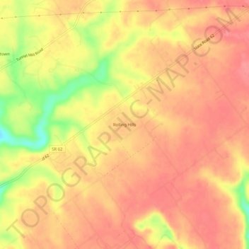
Name: Rolling Hills topographic map, elevation, terrain.
Location: Rolling Hills, Clark County, Indiana, United States (38.45812 -85.60857 38.49812 -85.56857)
Average elevation: 196 m
Minimum elevation: 143 m
Maximum elevation: 217 m
Thank you for supporting this site ❤️
Make a donation
Make a donation
Other topographic maps
Click on a map to view its topography, its elevation and its terrain.