
Thank you for supporting this site ❤️
Make a donation
Make a donation
Bypro topographic map
Click on the map to display elevation.
Thank you for supporting this site ❤️
Make a donation
Make a donation
About this map
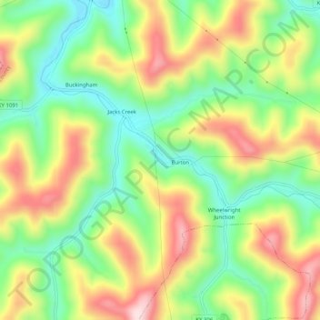
Name: Bypro topographic map, elevation, terrain.
Location: Bypro, Floyd County, Kentucky, 41612, United States (37.33984 -82.74688 37.37984 -82.70688)
Average elevation: 399 m
Minimum elevation: 253 m
Maximum elevation: 585 m
Thank you for supporting this site ❤️
Make a donation
Make a donation
Other topographic maps
Click on a map to view its topography, its elevation and its terrain.