
Þríhyrningsvatn topographic map
Interactive map
Click on the map to display elevation.
About this map
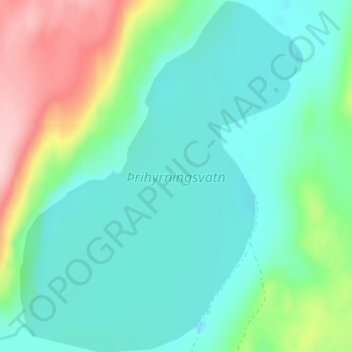
Name: Þríhyrningsvatn topographic map, elevation, terrain.
Location: Þríhyrningsvatn, Múlaþing, Eastern Region, Iceland (65.16000 -15.79375 65.18700 -15.74199)
Average elevation: 622 m
Minimum elevation: 571 m
Maximum elevation: 769 m
Other topographic maps
Click on a map to view its topography, its elevation and its terrain.