
Gray topographic map
Interactive map
Click on the map to display elevation.
About this map
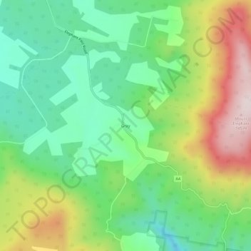
Name: Gray topographic map, elevation, terrain.
Location: Gray, Tasmania, Australia (-41.64174 148.20156 -41.60174 148.24156)
Average elevation: 399 m
Minimum elevation: 188 m
Maximum elevation: 758 m
Other topographic maps
Click on a map to view its topography, its elevation and its terrain.