
Thank you for supporting this site ❤️
Make a donation
Make a donation
Beulah topographic map
Click on the map to display elevation.
Thank you for supporting this site ❤️
Make a donation
Make a donation
About this map
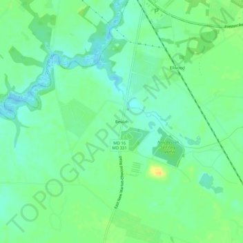
Name: Beulah topographic map, elevation, terrain.
Location: Beulah, Dorchester County, Maryland, 21643, United States (38.65789 -75.91910 38.69789 -75.87910)
Average elevation: 10 m
Minimum elevation: -1 m
Maximum elevation: 26 m
Thank you for supporting this site ❤️
Make a donation
Make a donation
Other topographic maps
Click on a map to view its topography, its elevation and its terrain.