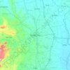
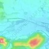
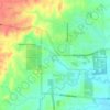
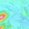
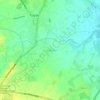
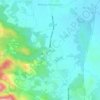
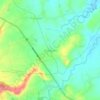
Pura topographic map
Click on the map to display elevation.
Pura
Pura, just like any other town in the province of the Tarlac has two (2) pronounced seasons. The wet season that starts from May up to lasts up to September and dry from the month of October to April. This type of climate is typically hot, humid, and tropical and is generally affected by the neighboring topography and prevalent wind direction that varies within the year. Tropical monsoon is carried into the area from the southeast in the month of May to September thereby causing heavy rainfall in the area. Most of the rainfalls are associated with typhoons.
About this map
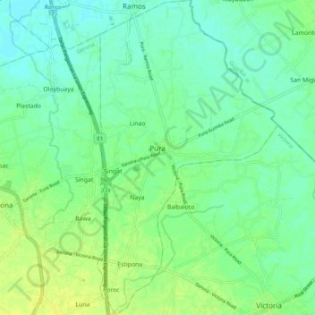
Name: Pura topographic map, elevation, terrain.
Location: Pura, Tarlac, Central Luzon, 2312, Philippines (15.57430 120.62841 15.66762 120.68400)
Average elevation: 23 m
Minimum elevation: 16 m
Maximum elevation: 32 m
Other topographic maps
Click on a map to view its topography, its elevation and its terrain.