
Cookville topographic map
Click on the map to display elevation.
About this map
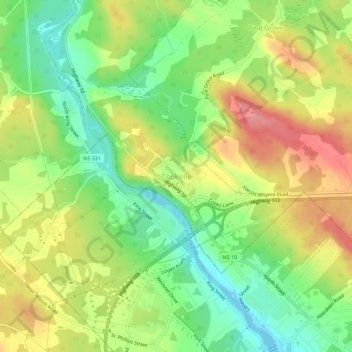
Name: Cookville topographic map, elevation, terrain.
Location: Cookville, Lunenburg County, Nova Scotia, B4V 7P4, Canada (44.38067 -64.55644 44.42067 -64.51644)
Average elevation: 54 m
Minimum elevation: -1 m
Maximum elevation: 118 m