
Thank you for supporting this site ❤️
Make a donation
Make a donation
Doberburg topographic map
Click on the map to display elevation.
Thank you for supporting this site ❤️
Make a donation
Make a donation
Doberburg
Auf der Gemarkung Doberburg liegen die Wohnplätze Friedrichshöhe und Baroldmühle. Der im 19. Jahrhundert genannte Sieheshof im äußersten nördlichen Zipfel der Gemarkung Doberburg existiert nicht mehr.
Thank you for supporting this site ❤️
Make a donation
Make a donation
About this map
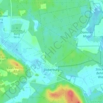
Name: Doberburg topographic map, elevation, terrain.
Average elevation: 54 m
Minimum elevation: 42 m
Maximum elevation: 98 m
Thank you for supporting this site ❤️
Make a donation
Make a donation