
Thank you for supporting this site ❤️
Make a donation
Make a donation
Kampung Dendang topographic map
Click on the map to display elevation.
Thank you for supporting this site ❤️
Make a donation
Make a donation
About this map
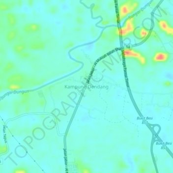
Name: Kampung Dendang topographic map, elevation, terrain.
Location: Kampung Dendang, Dungun, Terengganu, Malaysia (4.79790 103.16024 4.83790 103.20024)
Average elevation: 18 m
Minimum elevation: 7 m
Maximum elevation: 66 m
Thank you for supporting this site ❤️
Make a donation
Make a donation
Other topographic maps
Click on a map to view its topography, its elevation and its terrain.