
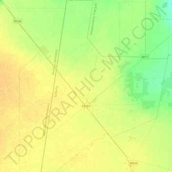
Municipio de Ceres topographic map
Interactive map
Click on the map to display elevation.
About this map
Name: Municipio de Ceres topographic map, elevation, terrain.
Location: Municipio de Ceres, Santa Fe, Argentina (-30.01979 -62.05343 -29.66172 -61.74904)
Average elevation: 87 m
Minimum elevation: 75 m
Maximum elevation: 96 m