
Thank you for supporting this site ❤️
Make a donation
Make a donation
Eagle River topographic map
Click on the map to display elevation.
Thank you for supporting this site ❤️
Make a donation
Make a donation
About this map
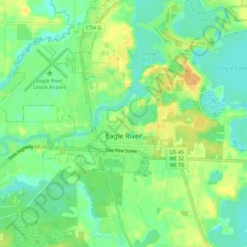
Name: Eagle River topographic map, elevation, terrain.
Location: Eagle River, Vilas County, Wisconsin, 54521, United States (45.89255 -89.28440 45.94719 -89.22472)
Average elevation: 500 m
Minimum elevation: 488 m
Maximum elevation: 518 m
Thank you for supporting this site ❤️
Make a donation
Make a donation
Other topographic maps
Click on a map to view its topography, its elevation and its terrain.
Thank you for supporting this site ❤️
Make a donation
Make a donation
Thank you for supporting this site ❤️
Make a donation
Make a donation