
Thank you for supporting this site ❤️
Make a donation
Make a donation
Lick Creek topographic map
Click on the map to display elevation.
Thank you for supporting this site ❤️
Make a donation
Make a donation
About this map
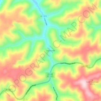
Name: Lick Creek topographic map, elevation, terrain.
Location: Lick Creek, Pike County, Kentucky, 41540, United States (37.36038 -82.31709 37.40038 -82.27709)
Average elevation: 430 m
Minimum elevation: 241 m
Maximum elevation: 615 m
Thank you for supporting this site ❤️
Make a donation
Make a donation
Other topographic maps
Click on a map to view its topography, its elevation and its terrain.