
Thank you for supporting this site ❤️
Make a donation
Make a donation
McAlpin topographic map
Click on the map to display elevation.
Thank you for supporting this site ❤️
Make a donation
Make a donation
About this map
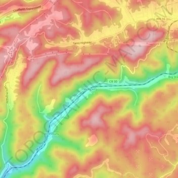
Name: McAlpin topographic map, elevation, terrain.
Location: McAlpin, Raleigh County, West Virginia, 25921, United States (37.67178 -81.29788 37.71178 -81.25788)
Average elevation: 721 m
Minimum elevation: 542 m
Maximum elevation: 827 m
Thank you for supporting this site ❤️
Make a donation
Make a donation
Other topographic maps
Click on a map to view its topography, its elevation and its terrain.
Thank you for supporting this site ❤️
Make a donation
Make a donation
Thank you for supporting this site ❤️
Make a donation
Make a donation