
Thank you for supporting this site ❤️
Make a donation
Make a donation
Solomondale topographic map
Click on the map to display elevation.
Thank you for supporting this site ❤️
Make a donation
Make a donation
About this map
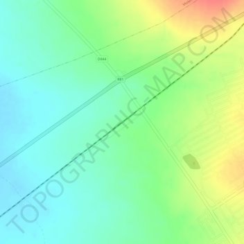
Name: Solomondale topographic map, elevation, terrain.
Average elevation: 1,194 m
Minimum elevation: 1,171 m
Maximum elevation: 1,229 m
Thank you for supporting this site ❤️
Make a donation
Make a donation
Other topographic maps
Click on a map to view its topography, its elevation and its terrain.
Polokwane Ward 9
South Africa > Limpopo > Capricorn District Municipality > Polokwane Local Municipality
Average elevation: 1,339 m
Polokwane Ward 8
South Africa > Limpopo > Capricorn District Municipality > Polokwane Local Municipality
Average elevation: 1,250 m