
Thank you for supporting this site ❤️
Make a donation
Make a donation
Indian Springs topographic map
Click on the map to display elevation.
Thank you for supporting this site ❤️
Make a donation
Make a donation
About this map
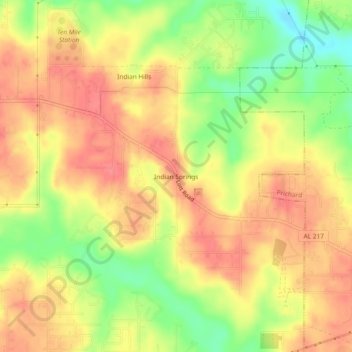
Name: Indian Springs topographic map, elevation, terrain.
Location: Indian Springs, Mobile County, Alabama, 36613, United States (30.76047 -88.21167 30.80047 -88.17167)
Average elevation: 51 m
Minimum elevation: 9 m
Maximum elevation: 76 m
Thank you for supporting this site ❤️
Make a donation
Make a donation