
Freiburg im Breisgau topographic map
Interactive map
Click on the map to display elevation.
About this map
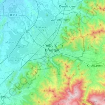
Name: Freiburg im Breisgau topographic map, elevation, terrain.
Location: Freiburg im Breisgau, Baden-Württemberg, Germany (47.90358 7.66201 48.07106 7.93084)
Average elevation: 407 m
Minimum elevation: 187 m
Maximum elevation: 1,277 m