
Thank you for supporting this site ❤️
Make a donation
Make a donation
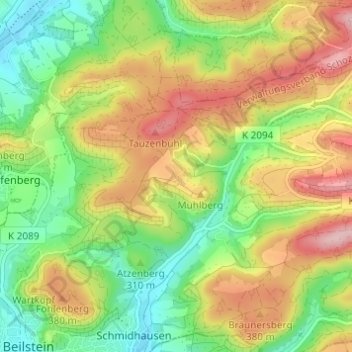
Gagernberg topographic map
Click on the map to display elevation.
Thank you for supporting this site ❤️
Make a donation
Make a donation
Gagernberg
Gagernberg liegt im Schwäbisch-Fränkischen Wald etwa zwei Kilometer nordöstlich von Schmidhausen auf einer Anhöhe oberhalb des rechten Ufers des Schmidbachtals, das von Nordosten bei Löwenstein kommend nach Schmidhausen im Südwesten abfällt. Etwa 500 Meter nordwestlich von Gagernberg liegt im Wald der Annasee.
Thank you for supporting this site ❤️
Make a donation
Make a donation
About this map
Name: Gagernberg topographic map, elevation, terrain.
Average elevation: 330 m
Minimum elevation: 241 m
Maximum elevation: 440 m
Thank you for supporting this site ❤️
Make a donation
Make a donation