
Thank you for supporting this site ❤️
Make a donation
Make a donation
Coast Range topographic map
Click on the map to display elevation.
Thank you for supporting this site ❤️
Make a donation
Make a donation
About this map
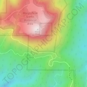
Name: Coast Range topographic map, elevation, terrain.
Location: Coast Range, Benton County, Oregon, United States (44.49995 -123.55005 44.50005 -123.54995)
Average elevation: 824 m
Minimum elevation: 508 m
Maximum elevation: 1,245 m
Thank you for supporting this site ❤️
Make a donation
Make a donation
Other topographic maps
Click on a map to view its topography, its elevation and its terrain.