
Thank you for supporting this site ❤️
Make a donation
Make a donation
Stonington topographic map
Click on the map to display elevation.
Thank you for supporting this site ❤️
Make a donation
Make a donation
About this map
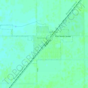
Name: Stonington topographic map, elevation, terrain.
Location: Stonington, Christian County, Illinois, United States (39.63221 -89.21027 39.64411 -89.18142)
Average elevation: 186 m
Minimum elevation: 182 m
Maximum elevation: 190 m
Thank you for supporting this site ❤️
Make a donation
Make a donation