
Thank you for supporting this site ❤️
Make a donation
Make a donation
Laiya-Aplaya topographic map
Click on the map to display elevation.
Thank you for supporting this site ❤️
Make a donation
Make a donation
About this map
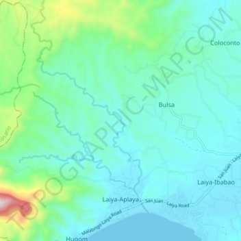
Name: Laiya-Aplaya topographic map, elevation, terrain.
Location: Laiya-Aplaya, San Juan, Batangas, Calabarzon, Philippines (13.66368 121.34580 13.73457 121.41311)
Average elevation: 116 m
Minimum elevation: 0 m
Maximum elevation: 651 m
Thank you for supporting this site ❤️
Make a donation
Make a donation
Other topographic maps
Click on a map to view its topography, its elevation and its terrain.