
Enschede topographic map
Click on the map to display elevation.
About this map
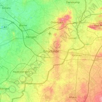
Name: Enschede topographic map, elevation, terrain.
Location: Enschede, Overijssel, Netherlands, 7511GD, Netherlands (52.06099 6.73405 52.38099 7.05405)
Average elevation: 34 m
Minimum elevation: 4 m
Maximum elevation: 88 m