
Thank you for supporting this site ❤️
Make a donation
Make a donation
Hishult topographic map
Click on the map to display elevation.
Thank you for supporting this site ❤️
Make a donation
Make a donation
About this map
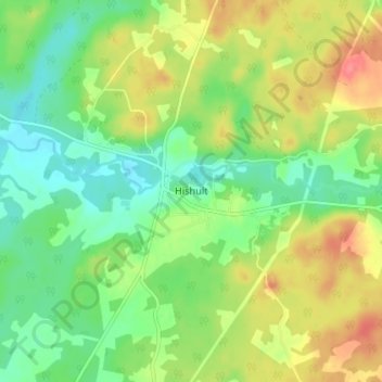
Name: Hishult topographic map, elevation, terrain.
Location: Hishult, Laholms kommun, Provinz Halland, Schweden (56.40825 13.29220 56.44825 13.33220)
Average elevation: 102 m
Minimum elevation: 75 m
Maximum elevation: 138 m
Thank you for supporting this site ❤️
Make a donation
Make a donation