
Villa Heights topographic map
Interactive map
Click on the map to display elevation.
About this map
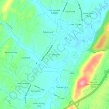
Name: Villa Heights topographic map, elevation, terrain.
Location: Villa Heights, Bradley County, Tennessee, 37312, USA (35.19202 -84.91578 35.23202 -84.87578)
Average elevation: 241 m
Minimum elevation: 210 m
Maximum elevation: 332 m