
Gwari topographic map
Interactive map
Click on the map to display elevation.
About this map
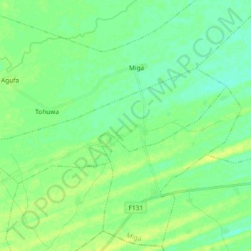
Name: Gwari topographic map, elevation, terrain.
Location: Gwari, Miga, Jigawa, Nigeria (12.17866 9.62631 12.23822 9.75914)
Average elevation: 369 m
Minimum elevation: 362 m
Maximum elevation: 378 m