
Dwaraka topographic map
Click on the map to display elevation.
About this map
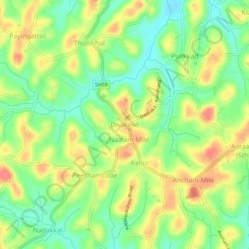
Name: Dwaraka topographic map, elevation, terrain.
Location: Dwaraka, Mananthavady, Wayanad, Kerala, 670732, India (11.73844 75.98630 11.77844 76.02630)
Average elevation: 746 m
Minimum elevation: 714 m
Maximum elevation: 782 m
Other topographic maps
Click on a map to view its topography, its elevation and its terrain.