
Aragua topographic map
Interactive map
Click on the map to display elevation.
About this map
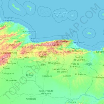
Name: Aragua topographic map, elevation, terrain.
Location: Aragua, Central, Venezuela (7.44000 -69.72667 12.56000 -64.60667)
Average elevation: 134 m
Minimum elevation: -1 m
Maximum elevation: 2,590 m
Other topographic maps
Click on a map to view its topography, its elevation and its terrain.