
Thank you for supporting this site ❤️
Make a donation
Make a donation
Rosine topographic map
Click on the map to display elevation.
Thank you for supporting this site ❤️
Make a donation
Make a donation
About this map
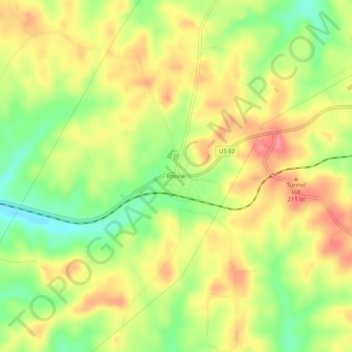
Name: Rosine topographic map, elevation, terrain.
Location: Rosine, Ohio County, Kentucky, 42370, United States (37.43033 -86.76138 37.47033 -86.72138)
Average elevation: 180 m
Minimum elevation: 134 m
Maximum elevation: 220 m
Thank you for supporting this site ❤️
Make a donation
Make a donation
Other topographic maps
Click on a map to view its topography, its elevation and its terrain.