
Thank you for supporting this site ❤️
Make a donation
Make a donation
Knox County topographic map
Click on the map to display elevation.
Thank you for supporting this site ❤️
Make a donation
Make a donation
About this map
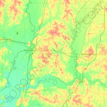
Name: Knox County topographic map, elevation, terrain.
Location: Knox County, Indiana, United States (38.41386 -87.75664 38.90787 -87.09069)
Average elevation: 142 m
Minimum elevation: 115 m
Maximum elevation: 197 m
Thank you for supporting this site ❤️
Make a donation
Make a donation
Other topographic maps
Click on a map to view its topography, its elevation and its terrain.