
Makoda topographic map
Interactive map
Click on the map to display elevation.
About this map
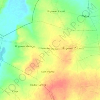
Name: Makoda topographic map, elevation, terrain.
Location: Makoda, Kano State, Nigeria (12.39567 8.37183 12.44186 8.45439)
Average elevation: 463 m
Minimum elevation: 438 m
Maximum elevation: 488 m