
Boulder City topographic map
Interactive map
Click on the map to display elevation.
About this map
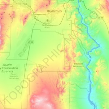
Name: Boulder City topographic map, elevation, terrain.
Location: Boulder City, Clark County, Nevada, 89005, USA (35.67663 -115.10263 36.01134 -114.76994)
Average elevation: 659 m
Minimum elevation: 192 m
Maximum elevation: 1,482 m