
Panunggangan Timur topographic map
Interactive map
Click on the map to display elevation.
About this map
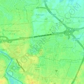
Name: Panunggangan Timur topographic map, elevation, terrain.
Location: Panunggangan Timur, Tangerang, Banten, 15143, Indonesia (-6.24279 106.63385 -6.20279 106.67385)
Average elevation: 22 m
Minimum elevation: 10 m
Maximum elevation: 33 m