
Backaryd topographic map
Interactive map
Click on the map to display elevation.
About this map
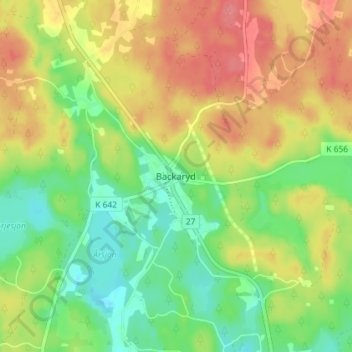
Name: Backaryd topographic map, elevation, terrain.
Location: Backaryd, Gemeinde Ronneby, Provinz Blekinge, Schweden (56.32721 15.13448 56.36721 15.17448)
Average elevation: 87 m
Minimum elevation: 52 m
Maximum elevation: 125 m
Other topographic maps
Click on a map to view its topography, its elevation and its terrain.