Laghetto Dell Alpe topographic map
Interactive map
Click on the map to display elevation.
About this map
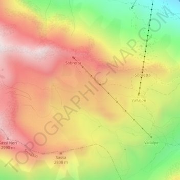
Name: Laghetto Dell Alpe topographic map, elevation, terrain.
Average elevation: 2,653 m
Minimum elevation: 2,137 m
Maximum elevation: 3,060 m

Click on the map to display elevation.
Name: Laghetto Dell Alpe topographic map, elevation, terrain.
Average elevation: 2,653 m
Minimum elevation: 2,137 m
Maximum elevation: 3,060 m