
Thank you for supporting this site ❤️
Make a donation
Make a donation
Fouta Djallon topographic map
Click on the map to display elevation.
Thank you for supporting this site ❤️
Make a donation
Make a donation
Fouta Djallon
Fouta-Djallon consists mainly of rolling grasslands, at an average elevation of about 900 m (3,000 ft). The highest point, Mount Loura, rises to 1,515 m (4,970 ft). The plateau consists of thick sandstone formations that overlie granitic basement rock. Erosion by rain and rivers has carved deep jungle canyons and valleys into the sandstone.
Thank you for supporting this site ❤️
Make a donation
Make a donation
About this map
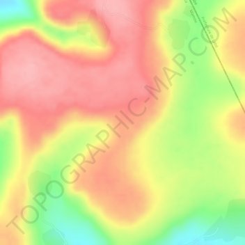
Name: Fouta Djallon topographic map, elevation, terrain.
Location: Fouta Djallon, Pita Prefecture, Mamou Region, Guinea (11.14995 -12.26005 11.15005 -12.25995)
Average elevation: 1,143 m
Minimum elevation: 1,058 m
Maximum elevation: 1,189 m
Thank you for supporting this site ❤️
Make a donation
Make a donation