
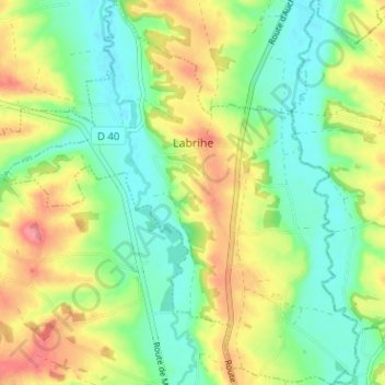
Labrihe topographic map
Interactive map
Click on the map to display elevation.
About this map
Name: Labrihe topographic map, elevation, terrain.
Average elevation: 148 m
Minimum elevation: 114 m
Maximum elevation: 199 m
La superficie de la commune est de 944 hectares ; son altitude varie de 115 à 183 mètres.