
Thank you for supporting this site ❤️
Make a donation
Make a donation
Mount Olive topographic map
Click on the map to display elevation.
Thank you for supporting this site ❤️
Make a donation
Make a donation
About this map
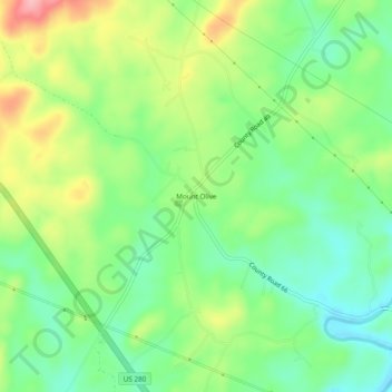
Name: Mount Olive topographic map, elevation, terrain.
Location: Mount Olive, Coosa County, Alabama, 35082, United States (33.04956 -86.15497 33.08956 -86.11497)
Average elevation: 247 m
Minimum elevation: 196 m
Maximum elevation: 329 m
Thank you for supporting this site ❤️
Make a donation
Make a donation
Other topographic maps
Click on a map to view its topography, its elevation and its terrain.