
Mascara topographic map
Interactive map
Click on the map to display elevation.
About this map
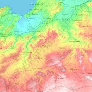
Name: Mascara topographic map, elevation, terrain.
Location: Mascara, Algeria (35.01123 -0.52186 35.78479 0.90212)
Average elevation: 469 m
Minimum elevation: -2 m
Maximum elevation: 1,269 m