
Río Gualas topographic map
Interactive map
Click on the map to display elevation.
About this map
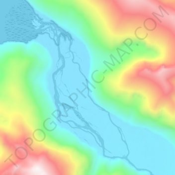
Name: Río Gualas topographic map, elevation, terrain.
Location: Río Gualas, Provincia de Aysén, Aysén Region, Chile (-46.53363 -73.74345 -46.47937 -73.67697)
Average elevation: 421 m
Minimum elevation: -2 m
Maximum elevation: 1,400 m
Other topographic maps
Click on a map to view its topography, its elevation and its terrain.
Río Ibáñez
Chile > Aysén Region > Río Ibáñez
Río Ibáñez, Provincia de General Carrera, Aysén Region, Chile
Average elevation: 314 m
Chile Chico
Chile > Aysén Region > Chile Chico
Chile Chico, Provincia de General Carrera, Aysén Region, 6050000, Chile
Average elevation: 911 m
Little Wellington Island
Chile > Aysén Region > Tortel
Little Wellington Island, Tortel, Provincia de Capitán Prat, Aysén Region, Chile
Average elevation: 209 m
Aysén
Chile > Aysén Region > Aysén
Aysén, Provincia de Aysén, Aysén Region, Chile
Average elevation: 311 m