
Gagarawa topographic map
Interactive map
Click on the map to display elevation.
About this map
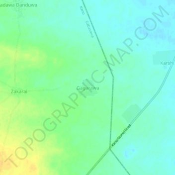
Name: Gagarawa topographic map, elevation, terrain.
Location: Gagarawa, Mekiya, Gabasawa, Kano, Nigeria (12.20860 8.90925 12.24860 8.94925)
Average elevation: 406 m
Minimum elevation: 397 m
Maximum elevation: 421 m