
Thank you for supporting this site ❤️
Make a donation
Make a donation
Regione Firè topographic map
Click on the map to display elevation.
Thank you for supporting this site ❤️
Make a donation
Make a donation
About this map
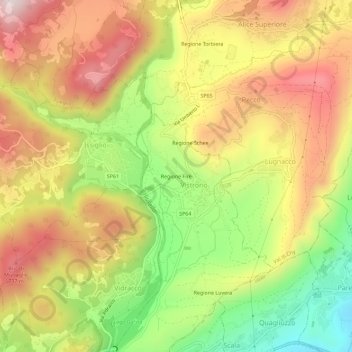
Name: Regione Firè topographic map, elevation, terrain.
Location: Regione Firè, Vistrorio, Torino, Piemonte, Italia (45.42335 7.74524 45.46335 7.78524)
Average elevation: 547 m
Minimum elevation: 251 m
Maximum elevation: 813 m
Thank you for supporting this site ❤️
Make a donation
Make a donation