
Togus topographic map
Interactive map
Click on the map to display elevation.
About this map
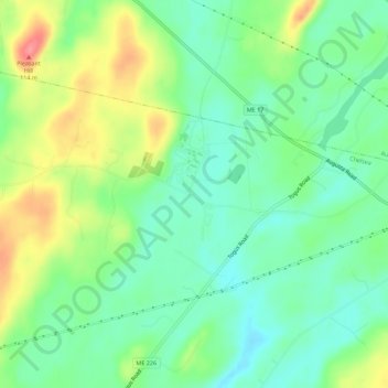
Name: Togus topographic map, elevation, terrain.
Location: Togus, Kennebec County, Maine, USA (44.25451 -69.72310 44.29451 -69.68310)
Average elevation: 64 m
Minimum elevation: 35 m
Maximum elevation: 113 m