
Morne Savanette topographic map
Interactive map
Click on the map to display elevation.
About this map
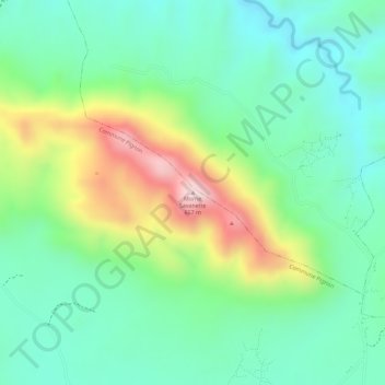
Name: Morne Savanette topographic map, elevation, terrain.
Average elevation: 421 m
Minimum elevation: 304 m
Maximum elevation: 645 m
Other topographic maps
Click on a map to view its topography, its elevation and its terrain.
Pignon
Haïti > Département du Nord > Commune Pignon
Pignon, Commune Pignon, Arrondissement Saint-Raphaël, Département du Nord, Haïti
Average elevation: 371 m