
Ranbirpura topographic map
Interactive map
Click on the map to display elevation.
About this map
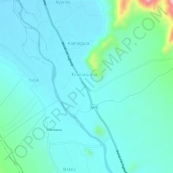
Name: Ranbirpura topographic map, elevation, terrain.
Location: Ranbirpura, Leh District, Jammu and Kashmir, 194201, India (34.00054 77.66433 34.04054 77.70433)
Average elevation: 3,303 m
Minimum elevation: 3,255 m
Maximum elevation: 3,586 m