
Lomma topographic map
Interactive map
Click on the map to display elevation.
About this map
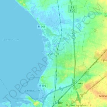
Name: Lomma topographic map, elevation, terrain.
Location: Lomma, Provinz Schonen, Landesteil Götaland, 23433, Schweden (55.63453 13.03089 55.71453 13.11089)
Average elevation: 5 m
Minimum elevation: -4 m
Maximum elevation: 26 m