
Thank you for supporting this site ❤️
Make a donation
Make a donation
Matarka Botoua topographic map
Click on the map to display elevation.
Thank you for supporting this site ❤️
Make a donation
Make a donation
About this map
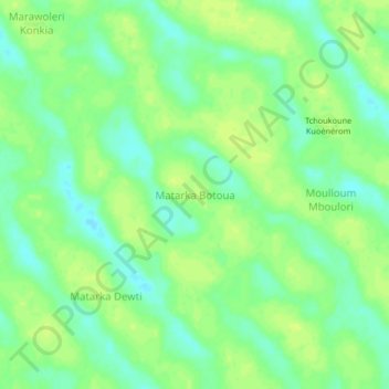
Name: Matarka Botoua topographic map, elevation, terrain.
Location: Matarka Botoua, Kanem, Chad (13.29042 15.62068 13.33042 15.66068)
Average elevation: 295 m
Minimum elevation: 286 m
Maximum elevation: 301 m
Thank you for supporting this site ❤️
Make a donation
Make a donation